abstract
Police, Security
& Defence Solutions

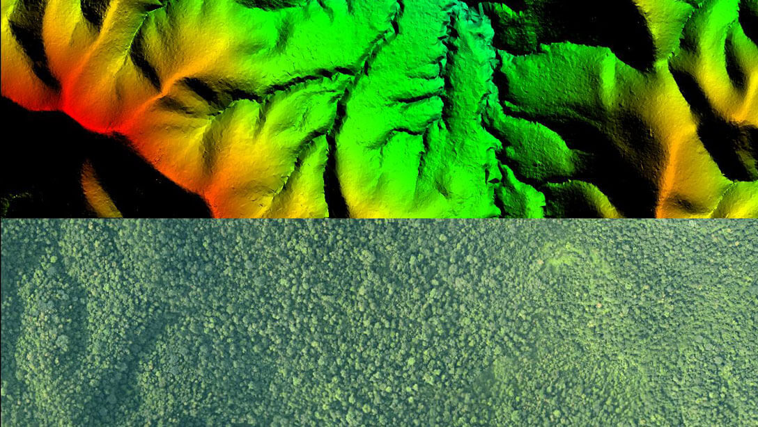
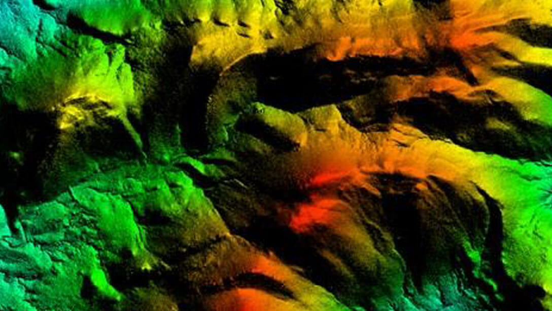
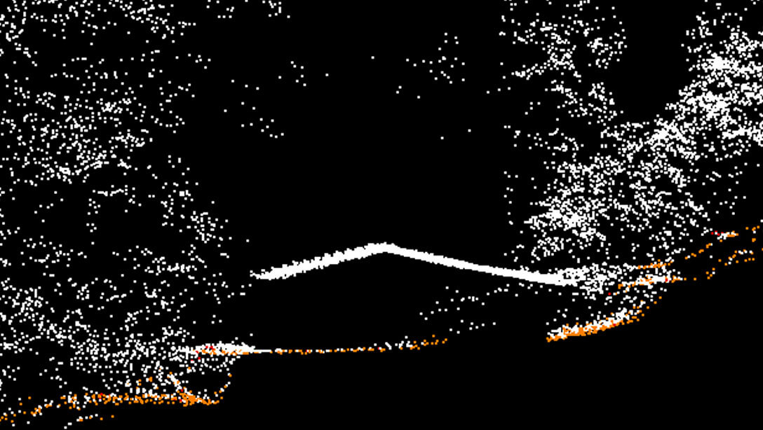
Highly Accurate 3D LiDAR Virtual Twin for Actionable Geo-Intelligence in Critical Areas

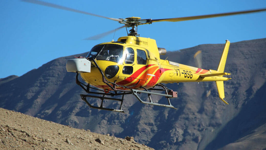
Police, Security & Defence require accurate information of critical areas to take decisive action quickly. Use the power of 3D Mapping using LiDAR to create accurate digital twins in short times.

abstract
Geo-Intelligence Solutions
Detailed 3D Terrain Maps
High density Point Cloud for Remote Conflict Zones
5 cm Orthophotos
50 cm Terrain Maps
Details of trails, tents, bunkers and man-made objects
VR Systems for Training
Surveillance Ready data
Success Stories
  • Multiple projects for Security Agencies
Safe City Solutions
Create 3D Digital Twins of critical assets
Undertake analytics for better Camera Placement
Undertake GIS Mapping for Crime
Re-create crime scene with 3D Mapping
Success Stories
  • 3D Mapping of Terminal 2, Delhi International Airport
Safe City Solutions
Our Technology & Solution
Aerial LiDAR Mapping
Mobile LiDAR Mapping
UAV LiDAR Mapping
Terrestrial LIDAR
Flood Management
Aiport I
Solar Rooftop Calculator