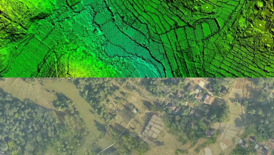
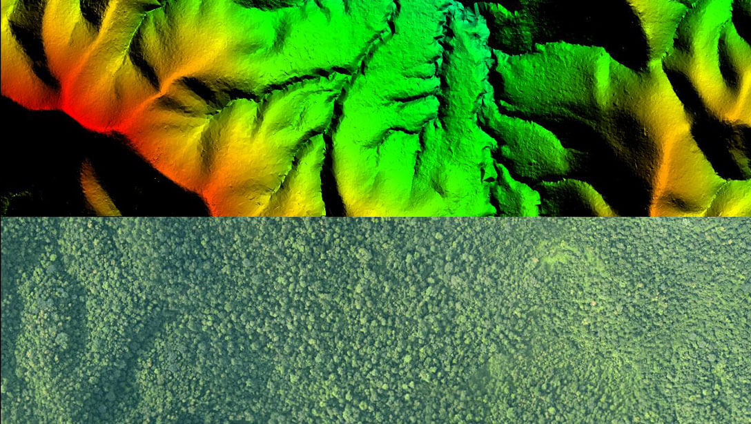
Land Records Management
Highly Accurate 3D LiDAR Digital Elevation Model with complete land details

Highly Accurate 3D LiDAR Digital Elevation Model with complete land details
Land Records Management requires survey of large areas with very high accuracy. Use the power of 3D Mapping using LiDAR to create accurate cadastral maps in short times.