UAV LiDAR
Real-time 3-D visualization of Geospatial data through the lens of UAV LiDAR
Real-time 3-D visualization of Geospatial data through the lens of UAV LiDAR
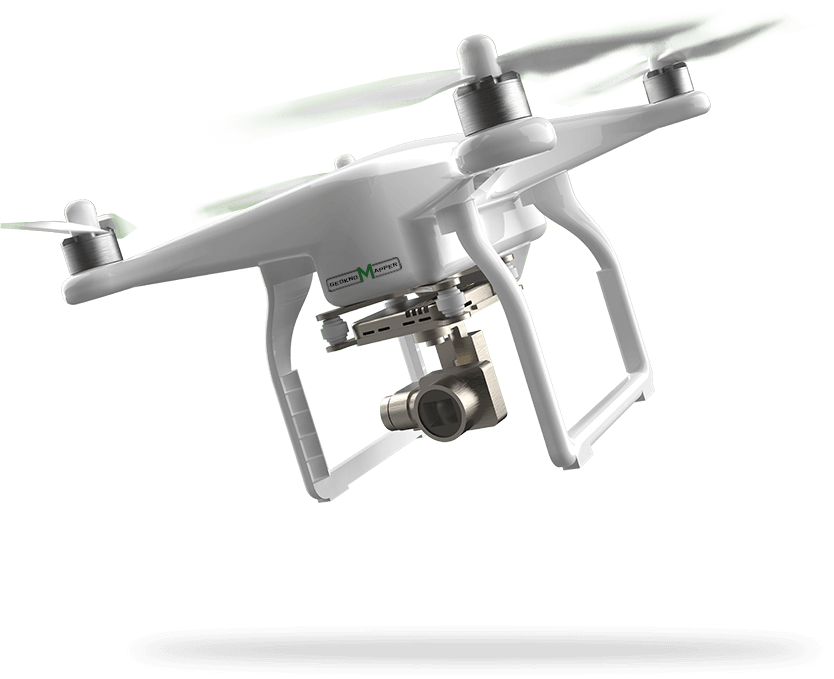
UAV LiDAR is revolutionizing geospatial data collection and visualization with accurate and reliable data capturing. A LiDAR system mounted on a UAV can be easily used to map high-resolution images with 3-D data captured and recorded in real-time. Solutions offered by this technology can meet diverse aerial 3D mapping and surveying needs across industries.
A general LiDAR embedded with a UV scanner and mounted as a single device is called the UAV LiDAR. The UV pulses released captures images that help in clear visualization, and the precise data collected is plotted on the plane. The information collated is analysed to draw conclusions to solve problems across industries.
Using advanced UAV LiDAR can drive changes quickly and also aid in faster implementation of solutions for pressing issues like disaster management, land disputes and many more. Moreover, highly accurate data collection across fields like archaeology, mine and quarry, forest management, mapping, roads and railways, infrastructure and power lines inspection is made possible with the help of UAV LiDAR.
Geokno’s UAV LiDAR can survey large and inaccessible areas creating a 3D environment precisely and collating data as a georeferenced point cloud. Our expert team collates the extensive data collected and draws valuable insights to help clients with practical solutions. Combination of state-of-the-art UAV & LiDAR technologies helps in overcoming inefficiencies and human errors thereby enabling effective planning, management and implementation of solutions.


