abstract

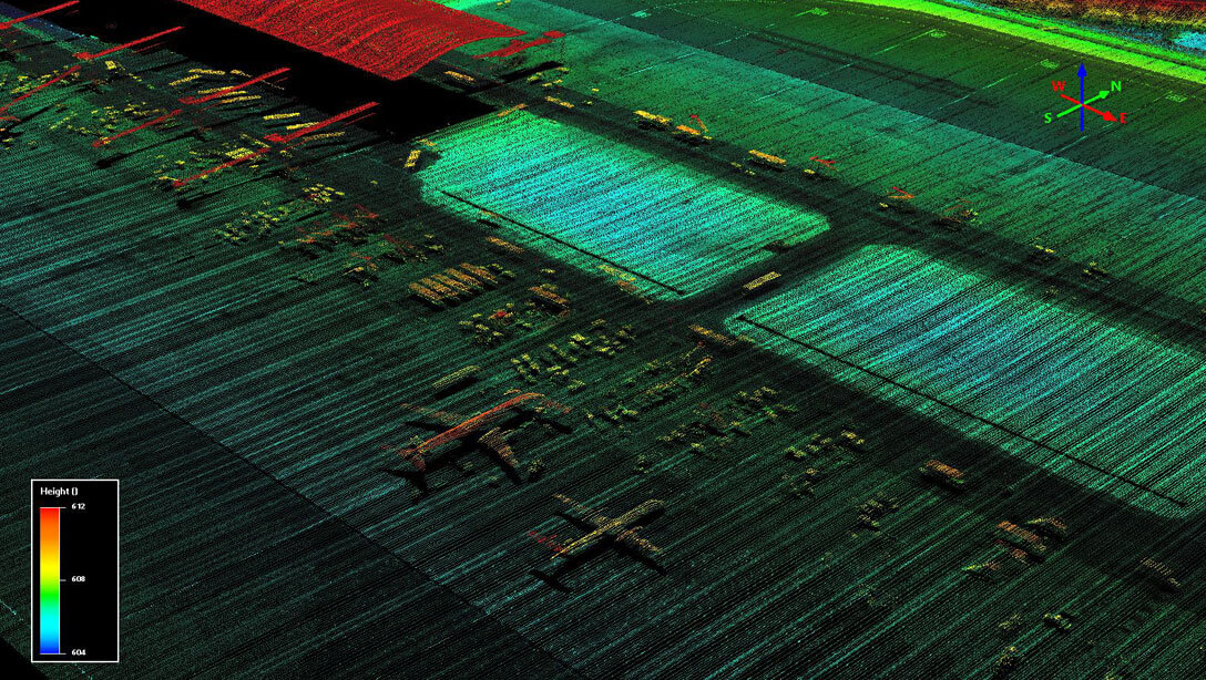
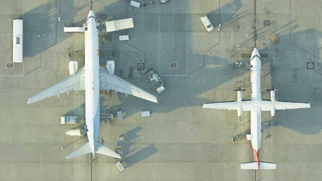
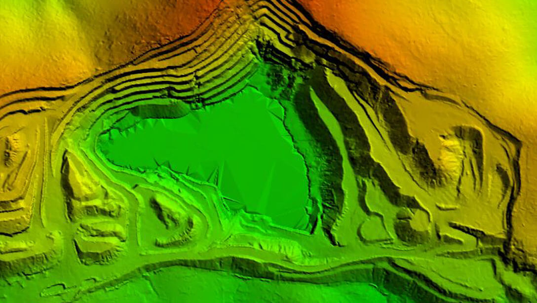
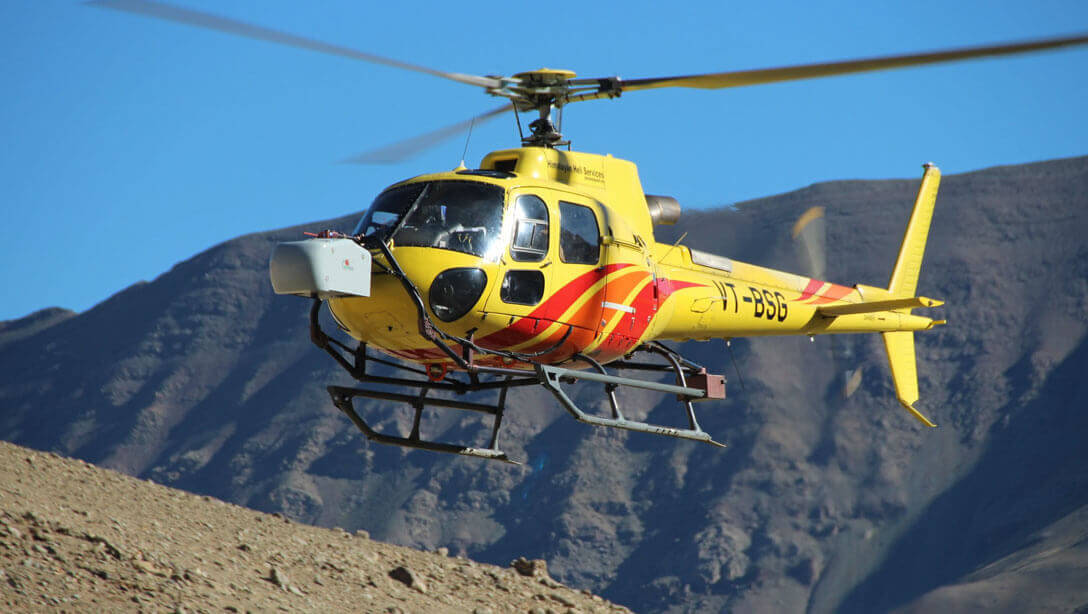
Large Industrial Assets like Airports, Power Plants, Ports, Mining require highly accurate data for superior decision making. Use the power of 3D Virtualization using LiDAR to get this accurate data in short times.

abstract
Industry Solutions
Airports
Airports
Aerial & Mobile LiDAR Survey
10 cm Orthophotos with 360° Panoramic Imagery
Airport GIS Solution
Asset Management
Operations & Maintenance Solutions
Success Stories
  • Delhi International Airport
  • Hyderabad International Airport
  • Mopa Airport, Goa
  • Campbell Bay Airport, Greater Nicobar Island
Telecom
Aerial & Mobile LiDAR Survey
10 cm Orthophotos with 360° Panoramic Imagery
GIS Solutions
Asset Monitoring
Asset Management
Operations & Maintenance
Success Stories
  • Defence NFS OFC Project for North-East States
Telecom
Oil & Gas Pipeline
Oil & Gas Pipeline
Aerial & Mobile LiDAR Survey
10 cm Orthophotos with 360° Panoramic Imagery
GIS Solutions
Asset Monitoring
Vegetation & Encroachment Management
Asset Management
Operations & Management Solutions
Success Stories
  • Gas Authority of India Limited Asset Management Project
Power Transmission
Aerial & Mobile LiDAR Survey
10 cm Orthophotos with 360° Panoramic Imagery
GIS Solutions
Asset Monitoring
Vegetation & Encroachment Management
Asset Management
Operation & Maintenance Solutions
Power Transmission
Mining
Mining
Aerial & Mobile LiDAR Survey
10 cm Orthophotos with 360° Panoramic Imagery
Overburden Calculations
Slope Management Solutions
GIS Solutions
Asset Management
Operation & Maintenance Solutions
Our Technology & Solution
Aerial LiDAR Mapping
Mobile LiDAR Mapping
UAV LiDAR Mapping
Terrestrial LIDAR
Flood Management
Aiport I
Solar Rooftop Calculator